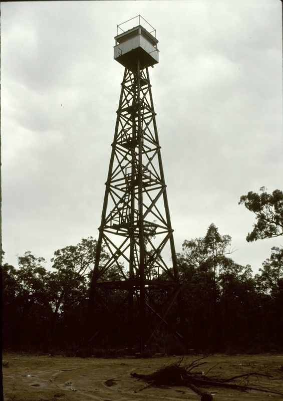
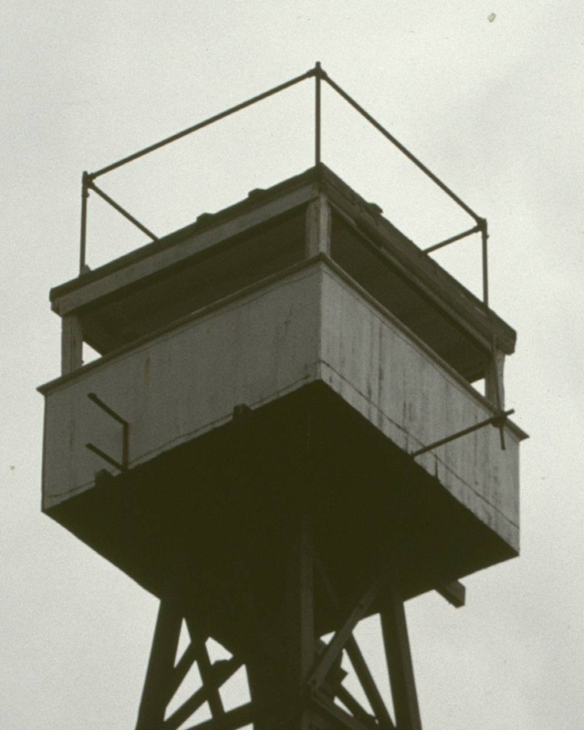
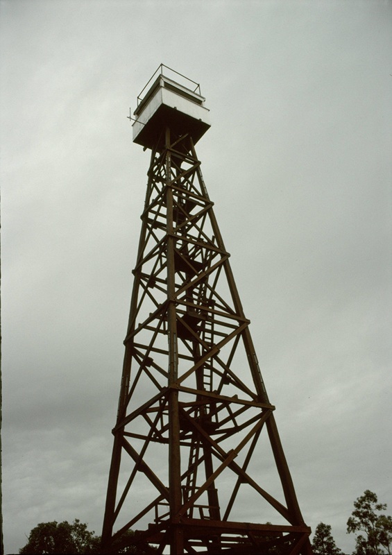
MT. SEAVIEW


Lat / Long (GDA) -33.707316, 115.580759 (GDA)
Department DEC
Work Centre ?
District Blackwood
Grading ?
Elevation (ASL) 140m
Height 25m
Construction Timber
Cabin size ?
Public access to site ?
In use since 1954 -
Photo, taken in 1999-2000 during a holiday, was supplied by Shannon and Joey Hodgson from the USA. They have been interested in Lookouts for many years and are just on the tail end of their 12th season (Oct. 2008) as fire lookouts in Oregon, USA. Shannon and Joey are also members of the FFLA.

Please click on thumbnails for enlargements
The above 1993 photos were supplied by MLC in March 2021.

1st photo: Mt. Seaview in 2003, 2nd photo 1990?
Photos kindly supplied by DEC - WA
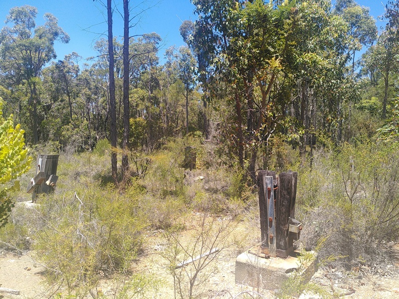
Screenshot of old map supplied by MLC in late 2019.


Mt. Seaview was destroyed by vandals in mid 2013. Please click here for Busselton Dunsborough Times article.

Mt. Seaview has a listing on the Heritage Council of WA. Please click here for a copy.

We received a few photos over the years about the foundations that are left on site, thanks to all the contributors. We've decided to post the latest ones above.
They were taken and supplied by Bushy in Dec 2025. Bushy also reported: "The road to the tower site has been torn up and made impassable to vehicles. Was a pain to walk; dips, cutouts, and piles of sand. The concrete blocks are still present. There is a odd pipe thing. The pipe is about 10cm diameter, comes out of a concrete block in the ground along ~3m and then back into another concrete block with nothing else near it."


Back to South West Region
Back to Western Australia Towers
Back to Home Page