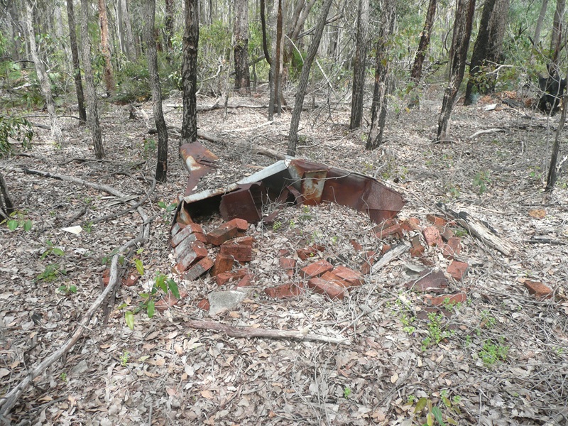
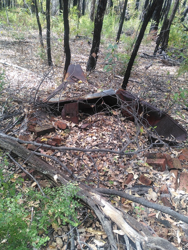
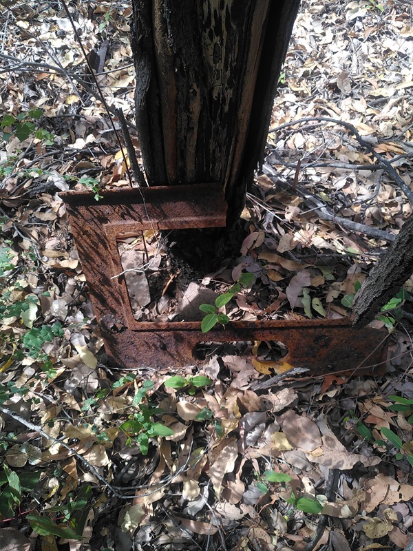
Photo taken (c 1950) by Bruno Balgera and supplied by Caroline Brocx in June 2021
In a Collie Mail Newspaper article from Feb 18th 1937, Page 3, it states:
'Forestry Settlements. During his inspection, Mr Smith was accompanied by Mr Bedmall? of the Forestry Department with whom he visited forestry settlements near Mt. Ross lookout tower. The outlook towers served a very valuable purpose Mr. Smith said, for they were connected by telephone and when a fire broke out the exact locality would be quickly ascertained. In this way it was possible to control fires before they gained too big a hold. Good homes were provided for the employees and their families at the settlements Mr Smith added while there was a school for the children. The soil was good and the houses were well situated.'
Please click on thumbnails for enlargements
Screenshots of old maps supplied by MLC in late 2019. MLC also reported: Co-ordinates approx.
Photo taken (c 1950) by Bruno Balgera and supplied by Caroline Brocx in June 2021 Do you know the FLO (Fire Lookout Operator)?
MLC visited the site in Oct 2020. The last photo above is from that visit. It shows the remains of the fire place from the hut.
Initially, we had the original Mt. William photo labelled as the Mt. Ross tower. That was proven to be wrong when this 1936 document was discovered at the WA State Records Office. It states that the 'The 60 foot lookout tower was completed - on Mt. Ross.'
We contacted the 'Memories of Harvey' Facebook group again for help. The group had supplied the original Mt. William photo (as Mt. Ross) and after a few posts, Caroline Brocx supplied the 1950s photos, taken by Bruno Balgera. Caroline saw the photos approx. 20 years ago and took photocopies of the photos. We like to thank Marion Lofthouse and her Memories of Harvey community, especially Caroline Brocx for their contributions.
The tower was demolished in 1970.
Bushy visited the site in January 2026 and he reported the following: "All that was there was a set of rocks in a line (not pictured), and the rusting remains of a chimney/fire place, see photos above.
This is currently (Jan 2026) a Disease Risk Area (DRA). (See here for general Dieback info). It's not technically closed to hikers."