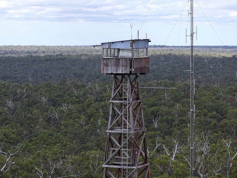
CARLOTTA


Grid Reference -34.022564, 115.850451
Department DEC
Work Centre ?
District Blackwood
Grading ?
Elevation (ASL) 360m
Height 37m
Construction Timber
Cabin size ?
Public access to site ?
In use since 1938 -
Photo, taken in 1999-2000 during a holiday, was supplied by Shannon and Joey Hodgson from the USA. They have been interested in Lookouts for many years and are just on the tail end of their 12th season (Oct. 2008) as fire lookouts in Oregon, USA. Shannon and Joey are also members of the FFLA.

Please click on thumbnails for enlargements

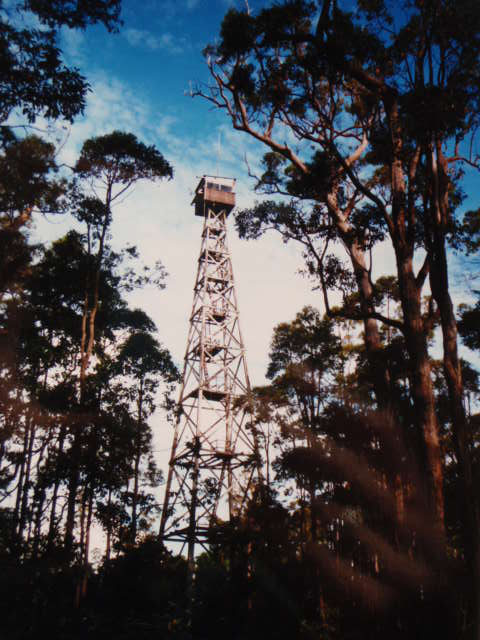
1958 - taken by Kevin Coate
Supplied by MLC
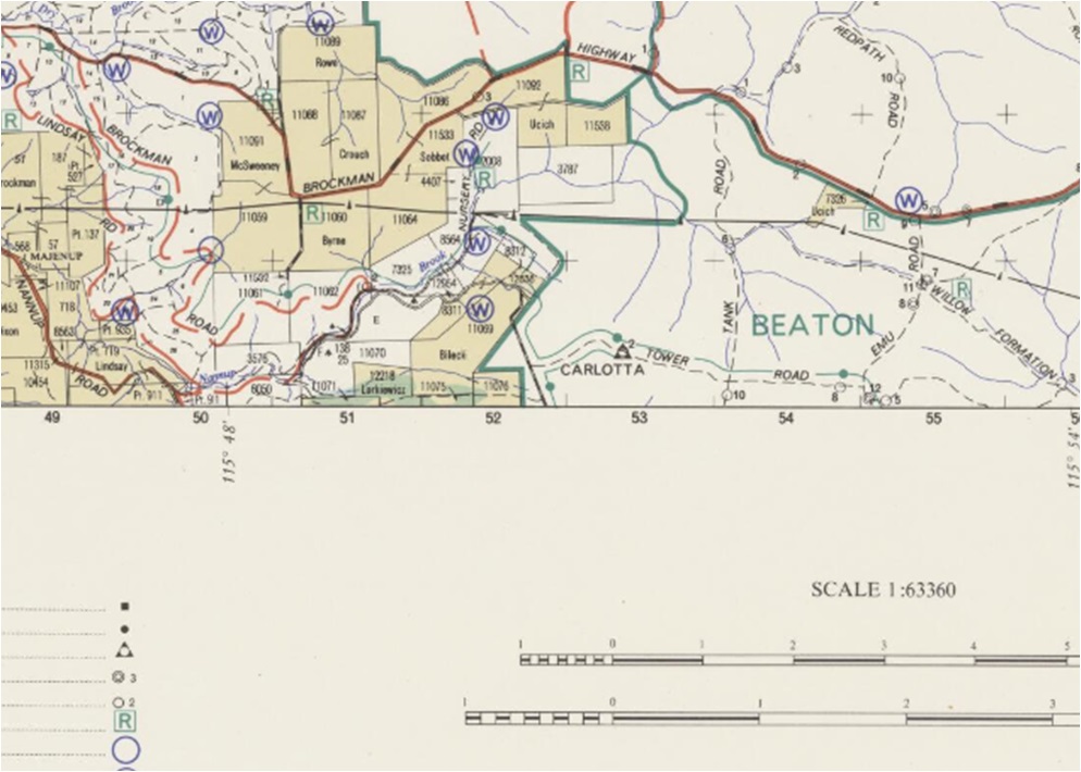
Screenshot of old map supplied
by MLC in late 2019.
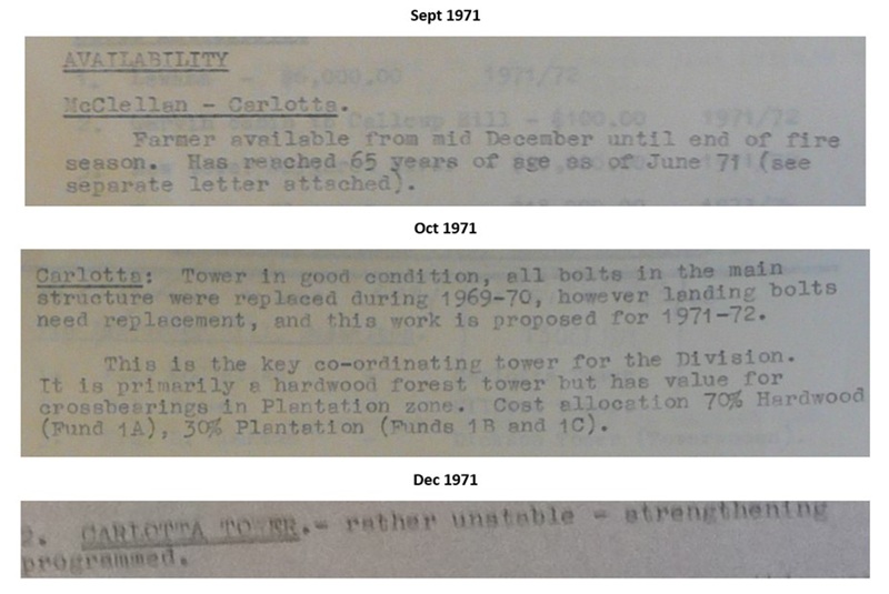
1971 Forests Department
notes supplied by MLC.
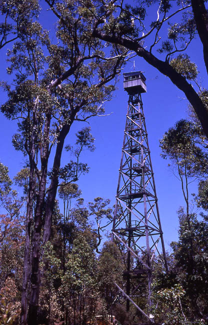
1990 - supplied
by DEC
MLC also provided this little snippet of trivia: The name "Carlotta" comes from Carlotta Brook, which you cross south of Nannup where the Brockman and Vasse highways meet. Moreover, Carlotta Brook got the name because Pemberton Walcott and Harry Prinsep's family once had a picnic alongside the brook, and Pemberton carved the name of one of Prinsep's girls (Carlotta) in a tree nearby.
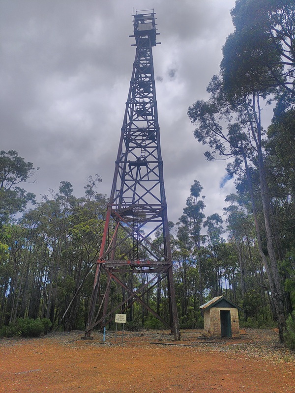
2024-03 Taken and
supplied by Jack Bradshaw
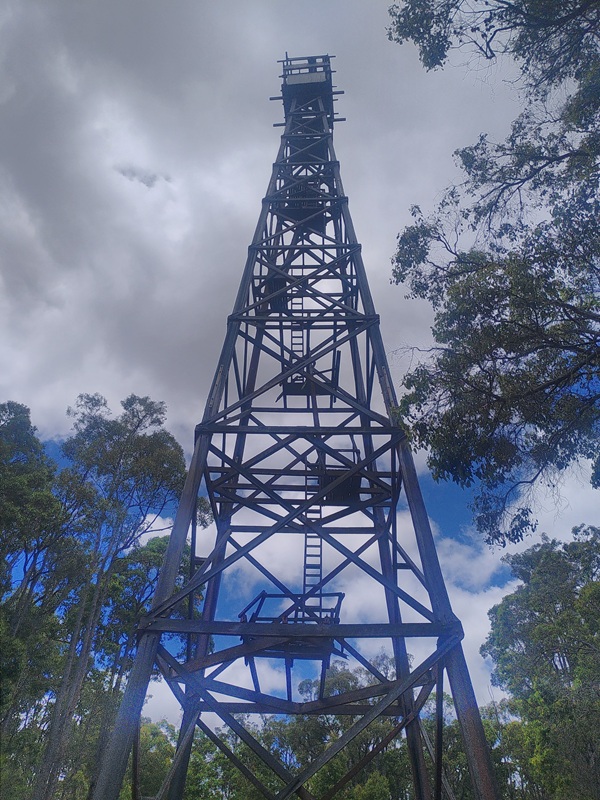
2026-01 Taken and
supplied by Bushy

Back to South West Region
Back to Western Australia Towers
Back to Home Page