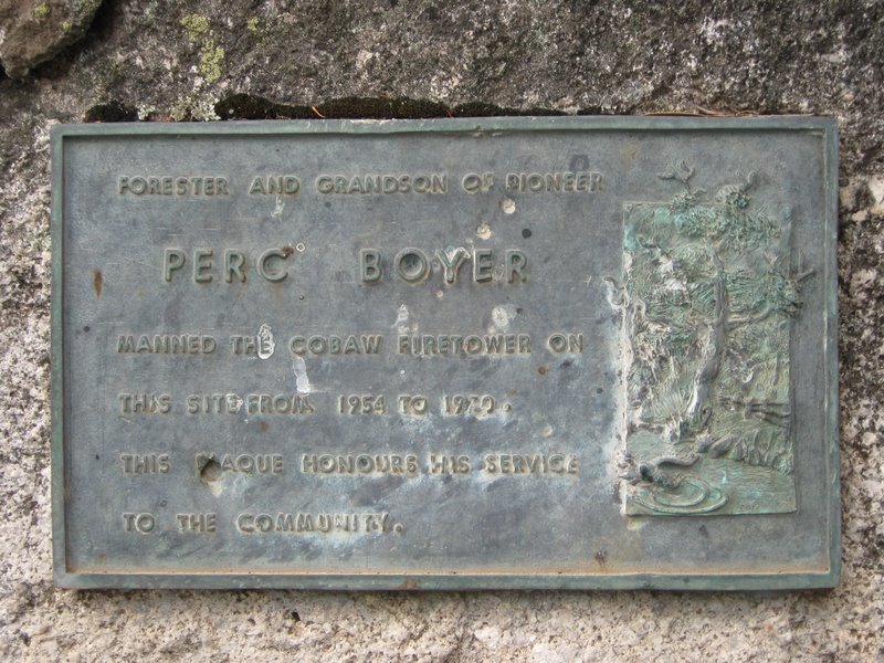
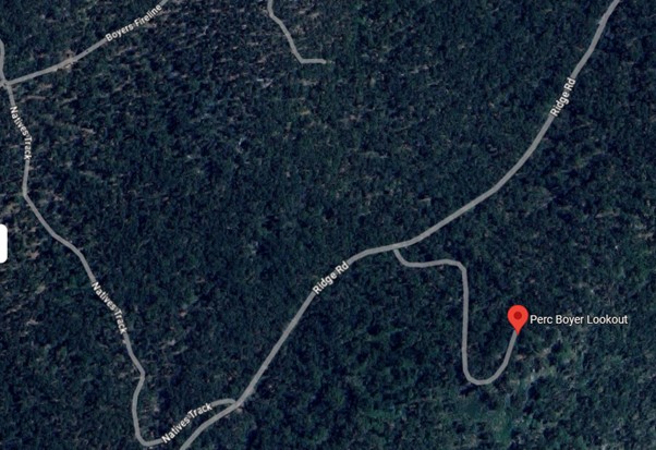
Cobaw


Lat / Long GDA -37.218603, 144.634989
Department FCV...etc...DEECA
Work Depot ?
Region ?
Grading ?
Elevation (ASL) 680m
Height ?
Construction Timber
Cabin size ?
Public access to site Yes
In use since 19?? = 197?
CFA Region 2 - North West
This tower no longer exists. Photo (2009) supplied by Russell Edwards. The plague was found on top of the middle of three peaks on the Cobaw ranges.
Russell also commented: "The plaque can be reached by an unofficial walking/motorbike/horse track which runs the 500 m up the hill from Ridge Rd. I could find no sign at all of any remnants of the tower. It looks as if the area has been burned about 3-5 years ago so perhaps that cleaned up any ruins".

Correspondence supplied by David Bannear (dated 02-04-1971) states:
"District Foresters at Forrest and Macedon have been asked to request you to arrange for inspections of the wooden towers at Cobaw and Mt. Sabine.
It is not anticipated they could or would be replaced in 1971 / 1972".

Please click on thumbnails for enlargements
Alex Passmore wrote on Google Maps: "Traces of the tower were still visible on my previous
visits with theVictorian Mountain Tramping Club in the 1980's.
I found no trace of the tower in December 2022".


Back to South West
Back to Victorian Towers
Back to Home Page